Information about Jimalalud
Jimalalud, officially the Municipality of Jimalalud (Cebuano: Lungsod sa Jimalalud; Tagalog: Bayan ng Jimalalud), is a 4th class municipality in the province of Negros Oriental, Philippines. According to the 2015 census, it has a population of 30,945 people. Jimalalud has a land area of 139.50 square kilometres (53.86 sq mi).
History
Jimalalud was founded in 1797 as part of Tayasan. In 1910, it was separated from Tayasan and became an independent municipality.Boundless sugar cane fields, typical of the northern landscape, fill the lush lands of Jimalalud most months of the year. It has reported rich deposits of coal, copper, iron and related compounds of magnetite, pyrites and marcasite, but the lodes remain untouched.
A Spanish soldier was said to have asked a native the name of the place, indicating the area. The native thought he was referring to a tree, and so informed the soldier that the tree was called a “hambabalud" (terminalia calamansanai).
In the late 1800s the Recollects built here a convent of hardwoods, an imposing structure that was reputed to be the biggest convent in the Province for over a quarter of a century. The Revolution against Spain compelled the friars to leave and the convent fell into disrepair. Jimalalud was made a town independent of Tayasan in 1910. In 1944 World War II guerillas burned down the entire town, leaving Jimalalud without a historical landmark standing. Barrio Bankal was the seat of the 7th District Government during World War II.Most times, Jimalalud is serene and green, and the plaza is the picturesque public space for imbibing the town’s pastoral ambience.
Geography
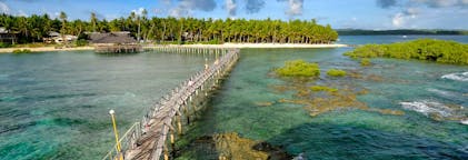
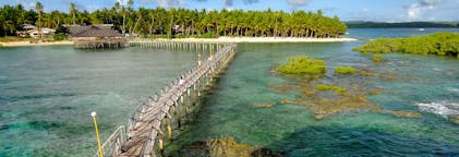
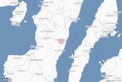
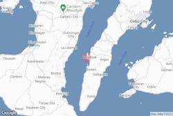
Jimalalud has a land area of 139.50 square kilometers (53.86 sq mi). It is located more than 110 kilometers from Dumaguete City, the province's capital and 564.41 kilometers (350.71 miles) from the national capital, Manila. The town is bounded by La Libertad to the north & Tayasan in the south. It faces the Tañon Strait in the east while the eastern part is mostly the mountainous part of the municipality.
Barangays
Jimalalud is politically subdivided into 28 barangays with North and South Poblacion as the center of governance, trade & commerce.
Climate
Demographics
Economy
The annual regular revenue of Jimalalud for the fiscal year of 2016 was ₱86,004,882.49, according to the record from the Bureau of Local Government Finance.
Hambabalud Festival
Each 13-15th day of January, the town celebrated its annual fiesta with "Sinulog de Jimalalud" as one of the highlight event. The pageantry of its revived Sinulog keeps Jimalalud’s religious and cultural heritage alive in a colorful way. Fiesta time and other special occasions usually bring on the town’s stallions for the exciting, if brutal, spectacle of the Paaway sa Kabayo.
Education
There are 3 high school in the town, the nationally-funded Jimalalud National High School in South Poblacion with extension in Baranggay Tamao & Owacan National High School, and Infant King Academy manage by Religious of the Virgin Mary (RVM).
Content is taken from Wikipedia


Download the Philippines’ biggest travel marketplace to your phone to manage your entire trip in one place
Scan this QR code with your phone camera and press the link that appears to add the Philippines’ biggest travel marketplace into your pocket. Enter your phone number or email address to receive an SMS or email with the download link.