
The lake's vibrant blue-green waters, framed by the rugged cliffs of the caldera, make it one of the most picturesque volcanoes in the Philippines. The best way to experience this natural wonder is through a Mt. Pinatubo tour, which takes visitors on an off-road 4x4 ride followed by a scenic trek leading to the crater’s edge.
Getting There
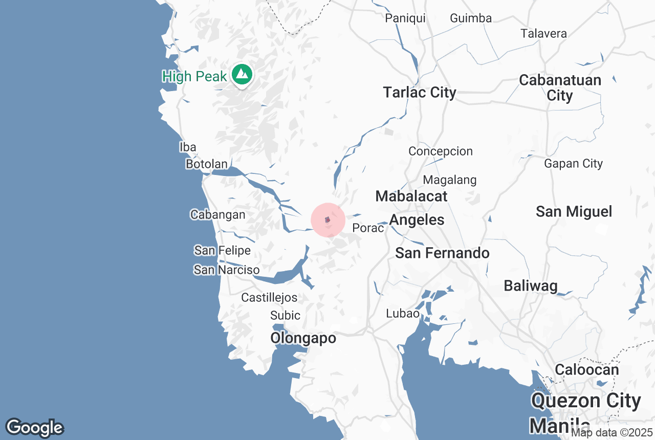
Pinatubo Lake is located in Central Luzon, with the most common starting point being Santa Juliana in Capas town of Tarlac Province. From Manila City, it takes about 2.5 to 3 hours by car to reach the jump-off point. Mt. Pinatubo tours typically include transportation, permits, a 4x4 jeep ride, and a guided trek to ensure a safe and hassle-free experience.
What to Expect
A Mt. Pinatubo tour starts with an exciting 4x4 ride across lahar fields, created by volcanic ash from the 1991 eruption. The rugged landscape, featuring rock formations, river crossings, and dramatic canyons, offers a thrilling start to the adventure.
The trek to the crater takes about 1 to 2 hours, depending on the chosen trail. Upon reaching Pinatubo Lake, visitors are rewarded with breathtaking views of the emerald-green waters surrounded by towering cliffs. The serene atmosphere and stunning scenery make it a perfect spot for relaxation, photography, and nature appreciation.
Best Time to Visit
The best time to visit Pinatubo Lake is during the dry season from November to May, when trekking conditions are ideal. The trail may be closed during the rainy season due to safety concerns caused by landslides and strong river currents.