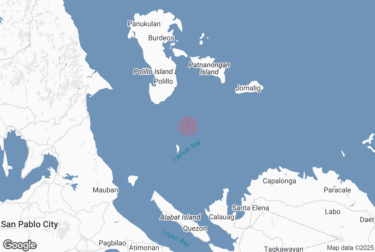

Lamon Bay, nestled along the southeastern coast of the Luzon region, is a serene escape perfect for travelers seeking quiet beaches and authentic coastal charm. Stretching across the provinces of Quezon and Camarines Norte, this lesser-known bay boasts a rich marine ecosystem, calm blue waters, and a peaceful fishing village atmosphere that captures the essence of rural seaside life in the Philippines.
The bay is particularly known for its shallow waters, ideal for swimming, kayaking, and paddleboarding. Its seagrass beds and coral reefs also make it a prime spot for snorkeling, especially near the coastal barangays of Atimonan, Gumaca, and Lopez in Quezon Province. Lamon Bay’s laid-back vibe offers a relaxing alternative to more commercial beach destinations in the Philippines.
Nature lovers and cultural travelers alike will find joy in exploring Lamon Bay’s nearby attractions. The coastal towns are dotted with Spanish-era churches, local seafood markets, and mangrove forests ideal for eco-tours. During low tide, travelers can walk along exposed sandbars and even spot local fishermen collecting shellfish—a scene that reflects the strong maritime culture of the region.
Perfect as a quiet retreat or as a side trip from more well-known destinations like Lucban town in Quezon Province or the surfing haven of Baler town in Aurora Province, Lamon Bay provides a scenic and authentic escape.