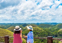
Northern Sierra Madre Natural Park, located in the northeastern region of Luzon, is one of the Philippines’ most biodiverse and pristine protected areas. Tucked within the rugged landscapes of Isabela province, this park is the largest of its kind in the country, offering a raw and untouched escape for eco-travelers and nature lovers seeking off-the-beaten-path adventures in the Philippines.
Home to dense rainforests, rock formations, and dramatic coastlines, the Northern Sierra Madre Natural Park is a top destination for wildlife encounters and jungle trekking. It shelters numerous endangered species, including the Philippine eagle, Isabela oriole, and Philippine crocodile, making it a key destination for conservation-focused tourism in the Luzon region.
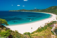
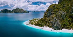
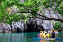
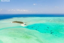
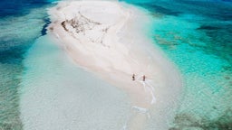
Outdoor enthusiasts can explore the park through guided hikes, river crossings, and boat trips along the Dicadi Protected Landscape and Seascape. The park also offers access to Dinapigue town’s scenic beaches, secret coves, and marine-rich waters ideal for snorkeling and kayaking. Remote and mostly undeveloped, the park’s raw beauty appeals to intrepid travelers craving true wilderness.
Northern Sierra Madre Natural Park offers a rare chance to experience one of the last frontiers of Philippine biodiversity. Its remoteness, rich ecology, and indigenous culture provide a powerful, grounding connection to the natural world.