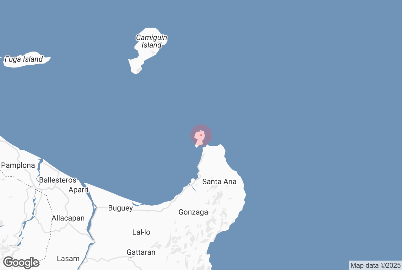
All the best experiences
Full customer support
Verified quality services
Filipino Travel Experts

Information about Palaui Island

4.7
55 Google reviews
Type
Island
Location
Palaui Island, Santa Ana, Cagayan, Philippines
Distance From City Center
8.9 km
High season
Autumn
Family-friendly
No
Average rating
4.7
Number of reviews
55

The Palaui Island Protected Landscape and Seascape is an island that is a protected area and national park in the municipality of Santa Ana in Cagayan, Philippines. It is located off the northeastern extremity of Luzon Island, the largest island in the country.

Geography

Palaui Island lies off the northwestern part of a large promontory in San Vicente, in the municipality of Santa Ana, Cagayan province. It is 10 kilometres (6.2 mi) at its longest and about 5 kilometres (3.1 mi) at its widest and moderately high. The western shore of the island appears bold, but on the eastern side, a reef projects from its side for 2.4 kilometres (1.5 mi), the edge of it being 0.8 kilometres (0.50 mi) from and extending around the small islet of Escucha, east of Palaui. The Dos Hermanos rocky islets lie off Cape Engaño, in the northern point of Palaui, and there are some rocks off the northeast point of the island, about 1.6 kilometres (0.99 mi) eastward of the cape. Gran Laja island, a low rock islet surrounded by breakers, is one of the rocks located northeast off Palaui.At the southwest end of Palaui Island is Puerto Point, a high, wooded bluff. East of the point and south of Palaui is Rona Island, a low, wooded island with a white base of sand and rocks. Escucha Island is a high and wooded islet east of Palaui, and beyond Rona Island when seen from southwestward through the channel between Palaui Island and the mainland, where a few more islets are located.

Flora and fauna

Palaui Island was declared as a National Marine Reserve in August 28, 1994 encompassing an area of 7,145 hectares (17,660 acres). The waters around the island boast of 21 commercial species of fishes with about 50 hectares (120 acres) of undisturbed corals.

Because of its remoteness, Palaui Island is home to 105 species of rattan and similar commercially valuable timber producing wood species plus 25 imported shrubs and is the sanctuary for 90 migratory birds.

Tourism

Among the destinations in the Palaui is the northern point of the island is the Cape Engaño Lighthouse which is situated at Cape Engaño the northern point of the island and its beaches. The island is the tenth entry in CNN's World's 100 Best Beaches list which was published on May 13, which remarked the island's "raw beauty"On June 22, 2018, the Palaui Island Protected Landscape and Seascape was designated a national park through the Expanded National Integrated Protected Areas System (ENIPAS) Act or Republic Act No. 11038. In January 2019, the island won the Association of Southeast Asian Nations (ASEAN) Community-Based Tourism Award for 2019-2021 "for promoting sustainable tourism through the efforts of the island’s environmental group, the Palaui Environmental Protectors Association (PEPA)".

Transportation

The Port of San Vicente in the Cagayan mainland serves residents and tourist going to or departing from Palaui Island. Docking areas in Palaui is Punta Verde and the coastline of Engaño Cove.

In popular culture

In 2013, it was used as the filming location for Survivor: Blood vs. Water and Survivor: Cagayan.

Content is taken from Wikipedia

Attractions Nearby

Link to appstore phone
Install the Philippines’ biggest travel app

Download the Philippines’ biggest travel marketplace to your phone to manage your entire trip in one place

Scan this QR code with your phone camera and press the link that appears to add the Philippines’ biggest travel marketplace into your pocket. Enter your phone number or email address to receive an SMS or email with the download link.