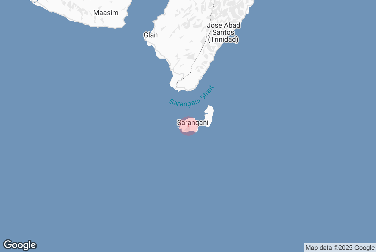
All the best experiences
Full customer support
Verified quality services
Filipino Travel Experts

Information about Balut Island

4.0
49 Google reviews
Type
Island
Location
Balut Island, Municipality of Sarangani, Davao, Philippines
Distance From City Center
5.0 km
Family-friendly
Yes
Last eruption
Unknown
Height
862 m
Average rating
4.0
Number of reviews
49

Balut Island, also known as Malulong, is a potentially active volcanic island south of the tip of Davao Occidental province in the Mindanao region, Southern Philippines. Located in the center of the island is the Balut Volcano, a fumarolic volcano with no historical eruptions.

The island of Balut is located about 13 km (8.1 mi) from mainland Mindanao, separated by the Sarangani Strait. Balut, Sarangani and Olanivan Islands make up the island group known as the Sarangani Islands. The group comprises the Municipality of Sarangani of Davao Occidental. Mabila on Balut Island is the town's center for commerce and the local government.

Balut is subdivided into 8 barangays:

Topography

Balut Island, the westernmost of the Sarangani Islands, is the larger, higher, and better cultivated than Sarangani Island. In the center of the island is Balut Volcano, which is fumarolic on occasion. Balut Island rises to about 1,800 metres (5,900 ft) from the seabed with the highest elevation at 862 metres (2,828 ft) above mean sea level. Base diameter of the island is 8 kilometres (5.0 mi).If seen from the northwest, it appears between two peaks. Northeast is another peak of Balut, southwest of the peak is the Langab volcano. In the southeast part of the island is Ten Seventy Hill with an elevation of 1,083 feet (330 m).

Coastline

The north and east coasts are bordered by a reef, which in some places extends out over 1 mile, while on the south and west sides the fringing reef does not extend out to any distance. Off the southwest point is a rock island called Manamil Island with an elevation of 40 feet (12 m). Lajan Point, the northeast point of the island, is low and covered by mangroves.South of the Lajan Point is Mabila, which is the poblacion or town center of the Municipality of Sarangani. The Port of Mabila is the main port of entry to the island and the gateway to the rest of the municipality.

Classification

Balut is classified by Philippine Institute of Volcanology and Seismology as a potentially active stratovolcano with solfataric activity. Hot springs and thermally altered grounds with temperatures of 95–96 °C (203–205 °F) are located at the west and Ssouthwest basal slopes of Balut Volcano. Temperature at the Palabuno Hot Spring is 42 °C (108 °F).

Volcanic activity

There are no reports of eruptions in historical times. The January 4, 1641 eruption that enveloped most of Mindanao in darkness was falsely attributed to Balut Volcano, as well as other volcanoes in the Philippines. Later studies proved that the eruption came from Mount Parker, 80 kilometres (50 mi) NW of Balut Island.

Geology

Rock type on the volcano is predominantly basalt and andesite. Balut is part of the Central Mindanao Arc, an area of frequent earthquakes and volcanic activity. All volcanoes in the Philippines are part of the Pacific ring of fire. Like most volcanoes in southern Philippines, Balut Volcano is little studied scientifically.

Astronomy

Being among the southernmost islands in the Philippines, it is possible at this location to see both the North Star and the Magellanic Clouds at the same time. Polaris is very low in the northern sky at about 5° altitude (the length of your thumb with an outstretched arm). The Southern Cross is also visible and its vertical bar points almost directly at the South Cardinal Point. Being near the equator, the sun is often very high in the sky. At a latitude of 5° 24', the sun passes directly overhead at noon time about April 3 and September 8 of each year, causing zero-length shadows. This phenomenon is not possible in high-latitude areas.

Astronomers from PAGASA set up on the island to observe the December 26, 2019 Annular Solar Eclipse. Balut Island, Sarangani Island, and Olanivan Island are the only places in the Philippines where the annularity was visible. Other parts of the Philippines only experienced a partial solar eclipse. The eclipse had a magnitude of 97.2% in Balut Island, 97.1% in Sarangani Island, and 96.8% in Olanivan Island. According to their local folklore, eclipses are caused by a dragon named Bakunawa devouring the sun.

Content is taken from Wikipedia

Attractions Nearby

Link to appstore phone
Install the Philippines’ biggest travel app

Download the Philippines’ biggest travel marketplace to your phone to manage your entire trip in one place

Scan this QR code with your phone camera and press the link that appears to add the Philippines’ biggest travel marketplace into your pocket. Enter your phone number or email address to receive an SMS or email with the download link.