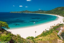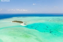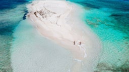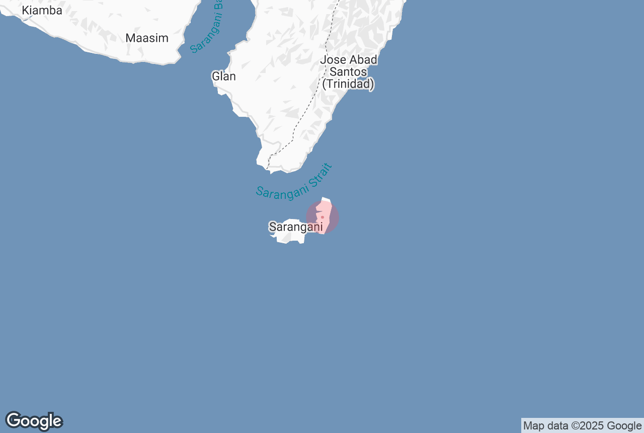

Sarangani Island, nestled off the southern tip of Davao Occidental in Mindanao, is a hidden tropical paradise that remains untouched by mass tourism. Known for its crystal-clear waters, white-sand beaches, and vibrant coral reefs, this remote island is perfect for travelers seeking raw, off-the-beaten-path adventures in the Philippines.
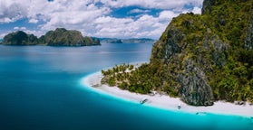
Accessible via boat from the town of Glan in Sarangani Province, the island is part of the Sarangani Bay Protected Seascape, making it a top destination for diving and snorkeling.
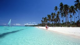
Rich marine biodiversity thrives in its waters, with sightings of sea turtles, colorful reef fish, and even occasional dolphins. The island is also known for its lush coastal forests and dramatic rock formations, ideal for nature lovers and photographers alike.
Beyond its marine appeal, Sarangani Island offers cultural encounters with the indigenous Blaan and Tboli communities, who inhabit nearby areas and are known for their intricate beadwork and weaving. For travelers interested in sustainable tourism, local guides offer community-led eco-tours, providing a deeper understanding of the region’s rich heritage and environmental conservation efforts.
Whether you're looking to explore the vibrant underwater world of the Philippines' southern islands or simply bask in the untouched beauty of a secluded beach, Sarangani Island is a perfect complement to popular destinations like Siargao, Camiguin, or Samal Island.