
Just a few hours north of the capital, a Mt. Arayat hiking trip from Manila City is a rewarding day adventure that offers both a physical challenge and a peaceful retreat into nature. The mountain is part of Mt. Arayat National Park, a protected area known for its lush forests, wildlife, and rich biodiversity.
What to Expect
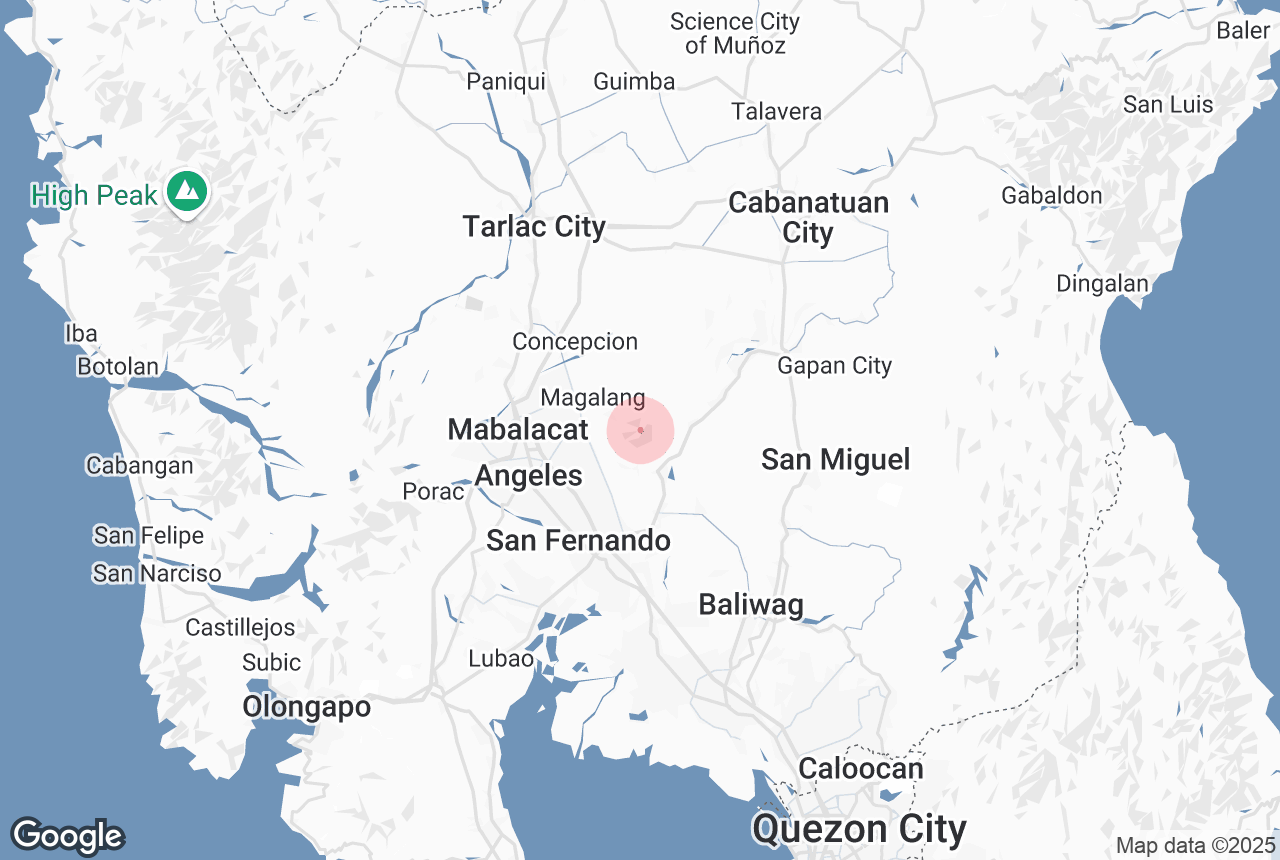
There are two main trails for hiking Mt. Arayat: the Magalang Trail and the Arayat-Trail in Barangay Bano. The Magalang Trail is the more popular and beginner-friendly route, leading to North Peak, which offers sweeping views of the Pampanga River, surrounding farmlands, and the vast Central Luzon plains. More experienced hikers can take the South Peak traverse, a more rugged and technical route that connects the two summits and requires a full day to complete.
Along the trail, you’ll encounter dense forests, natural springs, and panoramic viewpoints, making it a scenic and satisfying trek. The summit itself provides an excellent vantage point for photography, birdwatching, and simply appreciating the vastness of the Luzon landscape.
Cultural Significance
Mt. Arayat is also known in Philippine folklore as the home of Apung Sinukuan, a Kapampangan deity. Because of its cultural and spiritual significance, many locals regard the mountain as sacred, adding a layer of reverence to the hiking experience.
Best Time to Hike
The best time to climb Mt. Arayat is during the dry season, from November to May, when the trails are dry and safer for trekking. Early morning starts are highly recommended to avoid the heat and enjoy clear summit views.
Plan Your Trip
For those based in Metro Manila region, joining an organized Mt. Arayat hiking trip from Manila City is one of the most convenient ways to explore this legendary peak. These packages often include round-trip transfers, park permits, and local guides. You can also find it included in some hiking tours in the Philippines, which showcase various mountains ideal for beginners and experienced trekkers alike.