
Standing majestically at 2,954 meters above sea level, Mount Apo is the highest mountain in the Philippines and a dream destination for trekkers and nature enthusiasts.
Located in Mindanao island region, straddling the provinces of Davao del Sur and North Cotabato, this towering peak is known for its challenging trails, diverse ecosystems, and breathtaking summit views.
Considered the "Grandfather of Philippine Mountains," hiking in the Philippines wouldn’t be complete without attempting to conquer this legendary peak.
What to See and Experience
Mount Apo is home to dense forests, mossy woodlands, volcanic rock formations, and sulfur vents, making it a unique and rewarding climb. The trail offers a fascinating journey through lush jungles, river crossings, and steep ascents, providing adventurers with a true test of endurance and resilience.
Along the way, hikers can encounter rich biodiversity, including a rare sighting of the famous Philippine eagle, the country’s national bird and one of the world's largest raptors, if they're lucky.
At the summit, trekkers are rewarded with panoramic views of Davao City, South Cotabato, and the landscape surrounding Mindanao island region. On clear days, the sunrise from the peak is a breathtaking sight, making the climb even more worthwhile. The mountain’s crater, formed by volcanic activity, adds to the dramatic scenery of the summit area.
How to Hike Mount Apo
There are multiple routes leading to the summit, with each offering varying levels of difficulty and scenery. Whether you’re a seasoned trekker or an adventure seeker looking for a challenge, hiking tours in the Philippines include guided expeditions to Mount Apo that ensure a safe and memorable experience.
For those with limited time, a 2-day Mt. Apo hiking trip is an intense yet exhilarating option, requiring a fast-paced ascent and descent. This is ideal for experienced hikers who can handle long trekking hours.
Meanwhile, a 3-day Mt. Apo hiking trip allows for a more relaxed pace, giving climbers time to appreciate the stunning landscapes and wildlife along the way while camping under the stars.
How to Get There
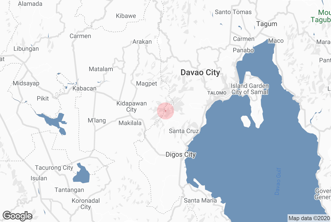
Mount Apo is accessible from Davao City, which serves as the main jump-off point for most trekking expeditions. From Francisco Bangoy International Airport (Davao International Airport), travelers can take a bus or private transport to Kidapawan City, Santa Cruz municipality, or Digos City, where trailheads to the mountain begin.
Booking a guided hiking tour in the Philippines is highly recommended, as it includes logistics, permits, and experienced guides who ensure a smooth and safe climb.
Best Time to Hike
The best months to climb Mount Apo are during the dry season from November to May, when the trails are less muddy and visibility is clear for summit views. Many climbers schedule their trek during long weekends or holidays, but those looking for a more serene experience may opt for weekdays to avoid the crowds.
For a seamless and unforgettable adventure, booking a Mount Apo hiking tour is the best way to conquer the country’s highest peak.